| Comprehensive Assessment of Water Supply in Maryland | 
|
| Comprehensive Assessment of Water Supply in Maryland |
|
Special Studies |
||
A sound understanding of the groundwater-flow system is fundamental to an assessment of the Coastal Plain aquifer system. Special studies are needed to help us understand spatial patterns of groundwater circulation in the system, the rates of movement along the different flow paths (through both aquifers and confining layers), and the dynamic evolution of the flow system over time. These types of information will allow scientists to better estimate the water budget of the system, which is essential to estimating the sustainable amount of water that can be extracted. |
||
 |
 |
|
Age Dating of Groundwater |
Groundwater-Flow-System Analysis |
|
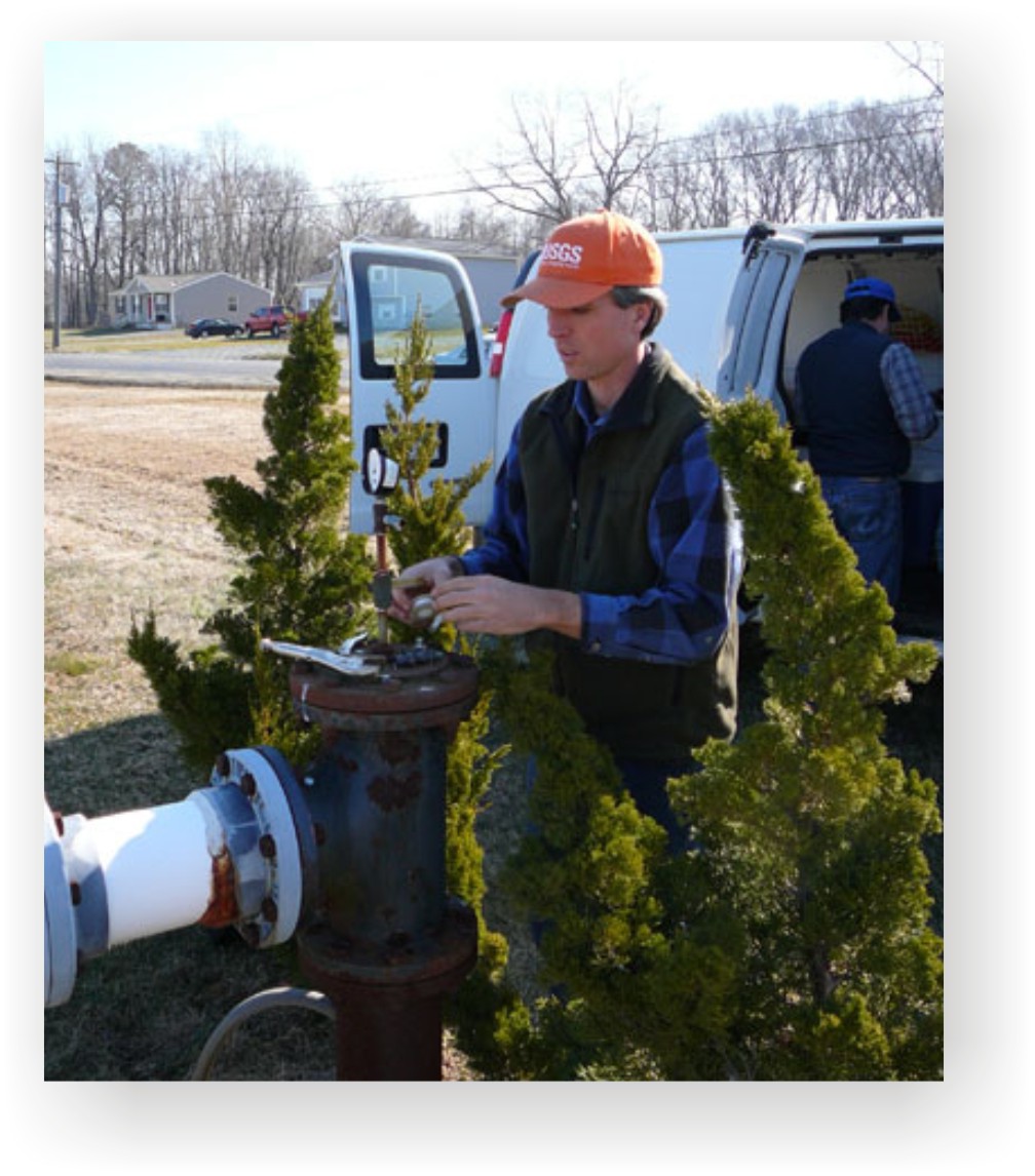
Data on water chemistry, including data used to estimate groundwater ages, is critical to understanding groundwater flow systems. Ages can be used to infer rates and directions of flow, and to calibrate groundwater flow models. In March 2010, groundwater samples from 15 production wells in the upper Patapsco aquifer were collected for analysis. These wells were part of two northwest to southeast transects, from Anne Arundel County to southern Maryland and the Eastern Shore. Samples have been analyzed for noble gases, carbon 14, and a variety of other constituents. Preliminary results indicate that groundwater in the upper Patapsco aquifer on the Eastern Shore may be more than 1 million years old. |
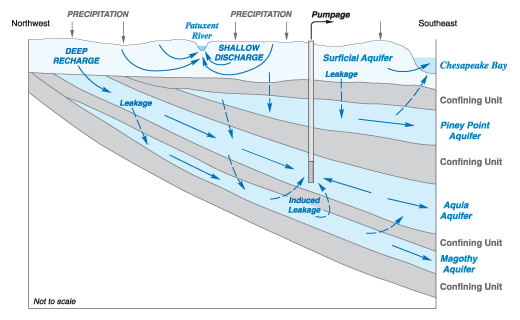
Water in the Coastal Plain enters the aquifer system as rainfall and snowmelt that percolates through the soil and subsoil to the water table. Most of the infiltrating water that reaches the water table flows through the near-surface part of the aquifer system and discharges to streams and rivers, or directly to coastal waters and Chesapeake Bay. A relatively small portion of recharging water becomes part of a deeper flow system that recharges the deep confined aquifers in the western and northern parts of the Coastal Plain near the Fall Line, where the aquifers are exposed at the surface. Some aquifers are recharged entirely by leakage of water from confining units. The amount of recharge from leakage from the confining units in the Coastal Plain is largely unknown. Over the past 50-100 years, increasing withdrawals by pumping wells have affected patterns of flow in the aquifers. |
|